WATERBODY TYPES
Florida is home to over 2.5 million acres of fresh water available in the form of lakes, rivers and streams, springs, man-made canals, and wetlands. Within these aquatic environments, invasive plants threaten native species and habitats, flood control structures, natural areas and resources, and recreation. Without management of invasive aquatic plants, boats would not be able to navigate, people could not safely swim, fish populations would be stunted or move elsewhere, bird populations would be threatened, tourists might go elsewhere, and agriculture crops and neighborhoods could be flooded during storm events.
The following is a quick overview of the unique types of waterbodies found in Florida.
Thousands of miles of canals, and their water control structures, are carved into Florida’s landscape, especially in the southeastern part of the state. Canals are artificial waterways that modify existing rivers or streams, or are dug into wetlands or uplands for navigation, drainage and flood control, irrigation, access, and recreation. Florida canals range from a few feet to hundreds of feet wide and from a few feet to as deep as 35 feet.
University of Florida Center for Aquatic and Invasive Plants
What is District Right of Way?
For purposes of the South Florida Water Management District (the “District”), “right of way” is the collective term used to describe those properties or facilities that have been designated as “Works of the District” by the District’s Governing Board. The most common rights of way are those lands associated with canals and levees and in which the District has a fee (outright ownership) or easement (subject to someone else owning the property) interest. For homeowners, right of way typically exists as the publicly-owned land between the rear property line and the canal or as an easement over the homeowners’ property lying adjacent to a canal. Use of the right of way (whether it is fee or easement) is subject to the Right of Way Occupancy Permitting Program pursuant to Chapter 40E-6, Florida Administrative Code.
Keeping Canal Right of Way Clear for Flood Control
Flood control in your South Florida neighborhood depends on well-maintained canals. This requires that land adjacent to a canal embankment be clear of trees, shrubs, fences and other encroaching objects.
As part of its flood control mission, the South Florida Water Management District has right of way along 2,100 miles of canals to enable access to properly maintain the regional water management system. Residents who live adjacent to SFWMD canals or connecting secondary canals often want to plant trees or vegetation to enhance the view or set up improvements, such as fences, docks or gazebos. While some right-of-way uses are compatible and may be allowed with a permit, others may obstruct the District’s ability to operate the flood control system.
Lake Worth Drainage District (LWDD) Mapping Portal
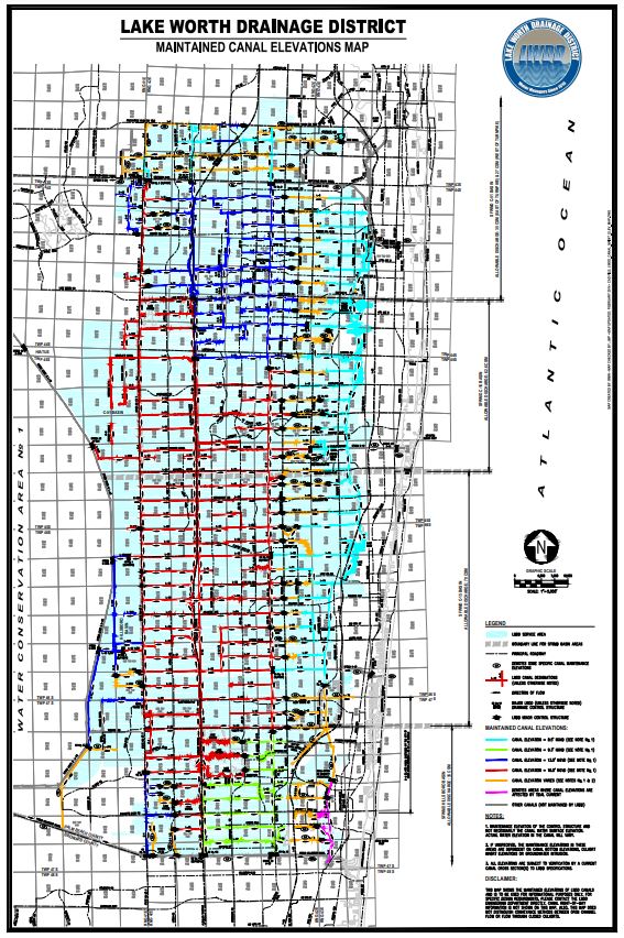
The Lake Worth Drainage District manages the water resources for much of southeastern Palm Beach County, FL, providing comprehensive flood control, water conservation and water supply protection for more than 700,000 residents and 10,000 acres of agricultural land. Our employees monitor and control a complex system of approximately 500 miles of canals and associated rights-of-way, 20 major water control structures and numerous minor structures.
About the Portal
This portal is the official source for data authored and stewarded by Lake Worth Drainage District. On this portal you will find data, maps, and applications that model elements of our infrastructure and depict important boundaries.
Flood Control In South Florida A Shared Responsibility
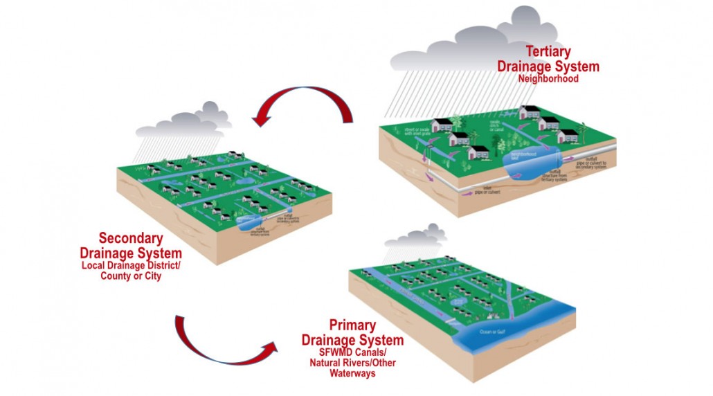
Flood control in South Florida is a shared responsibility and is achieved through an interconnected, three-tiered drainage system. Neighborhood drainage systems, or tertiary systems, are operated by property owners or residential associations. Secondary flood control canals are operated by the Lake Worth Drainage District, and primary flood control is provided by the South Florida Water Management District.
The Lake Worth Drainage District works closely with the South Florida Water Management District before, during and after rainfall events to provide flood control for the residents of Palm Beach County.
Water managers are continually monitoring weather systems and canal levels in order to proactively respond to heavy rainfall events. In anticipation of a heavy rainfall event, the Lake Worth Drainage District water control structures are opened in order to maintain appropriate water levels in the system.
Residential communities are designed to retain water in swales and onsite detention ponds. With prior authorization from the Lake Worth Drainage District, excess stormwater may be discharged into District canals through control structures with fixed or operable weirs to prevent flooding of property.
Services provided by Lake Worth Drainage District include:
- Stormwater management and operation of the regional flood control system
- Permitting of structures discharging stormwater into District canals
- Maintenance of canals and rights-of-way
- Aquatic weed control
- Participation in community outreach and educational programs
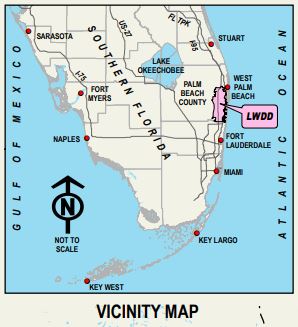
The Lake Worth Drainage District encompasses approximately 200 square miles in southeastern Palm Beach County. We are bordered on the west by the Arthur R. Marshall Loxahatchee National Wildlife Refuge, on the east by Interstate 95, on the north by Okeechobee Boulevard and on the south by the Hillsboro canal.
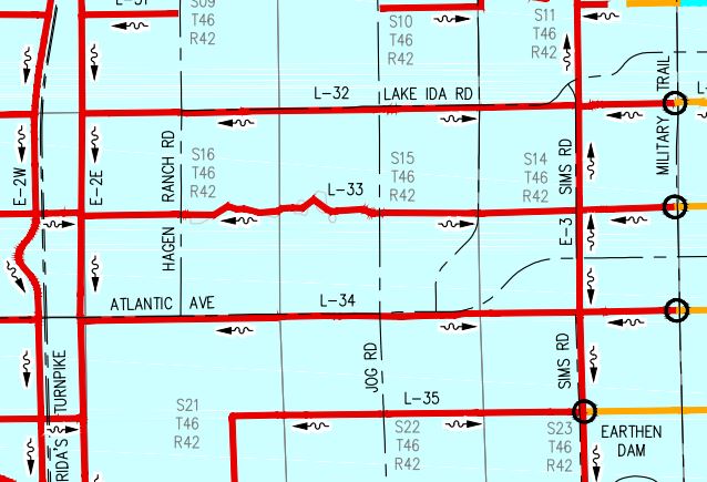
Lake Worth Drainage District Maintained Canals Map Zoomed
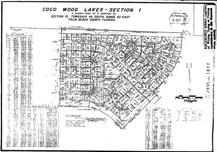
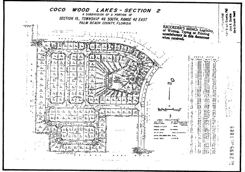
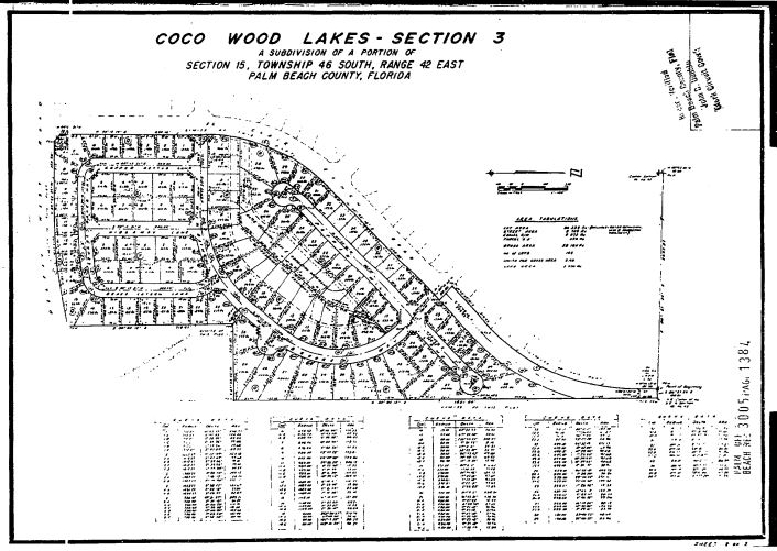
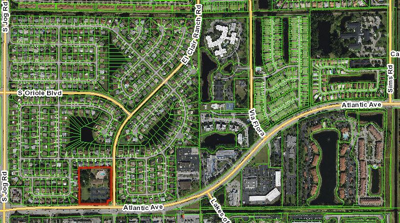 Coco Wood Lakes
Coco Wood Lakes Homeowners Association
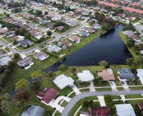
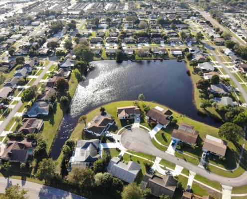
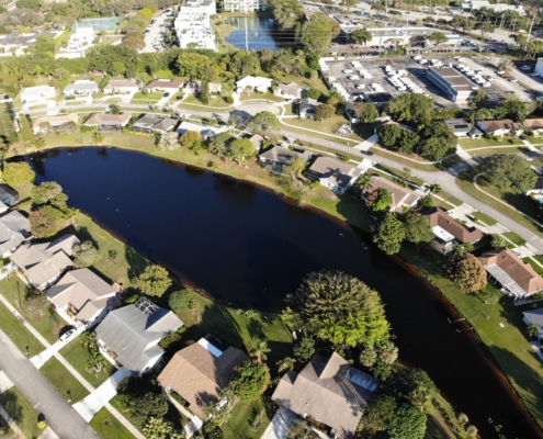
Surrounded on all sides by “Works of the District” Coco Wood Lakes canals are some of the waterbody’s not managed by SFWMD and LWDD.
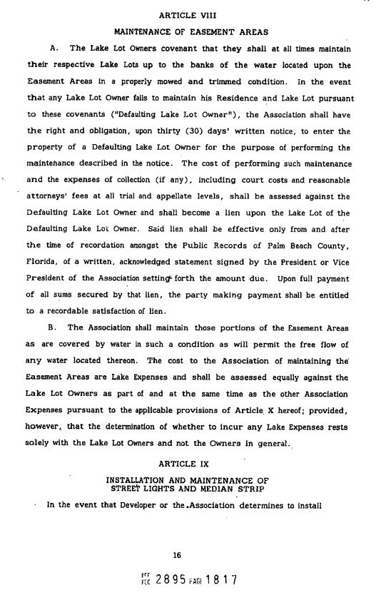
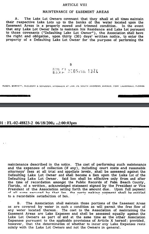
Coco Wood Lakes members who are waterfront pay extra dues split equally added to their quarterly assessment.


